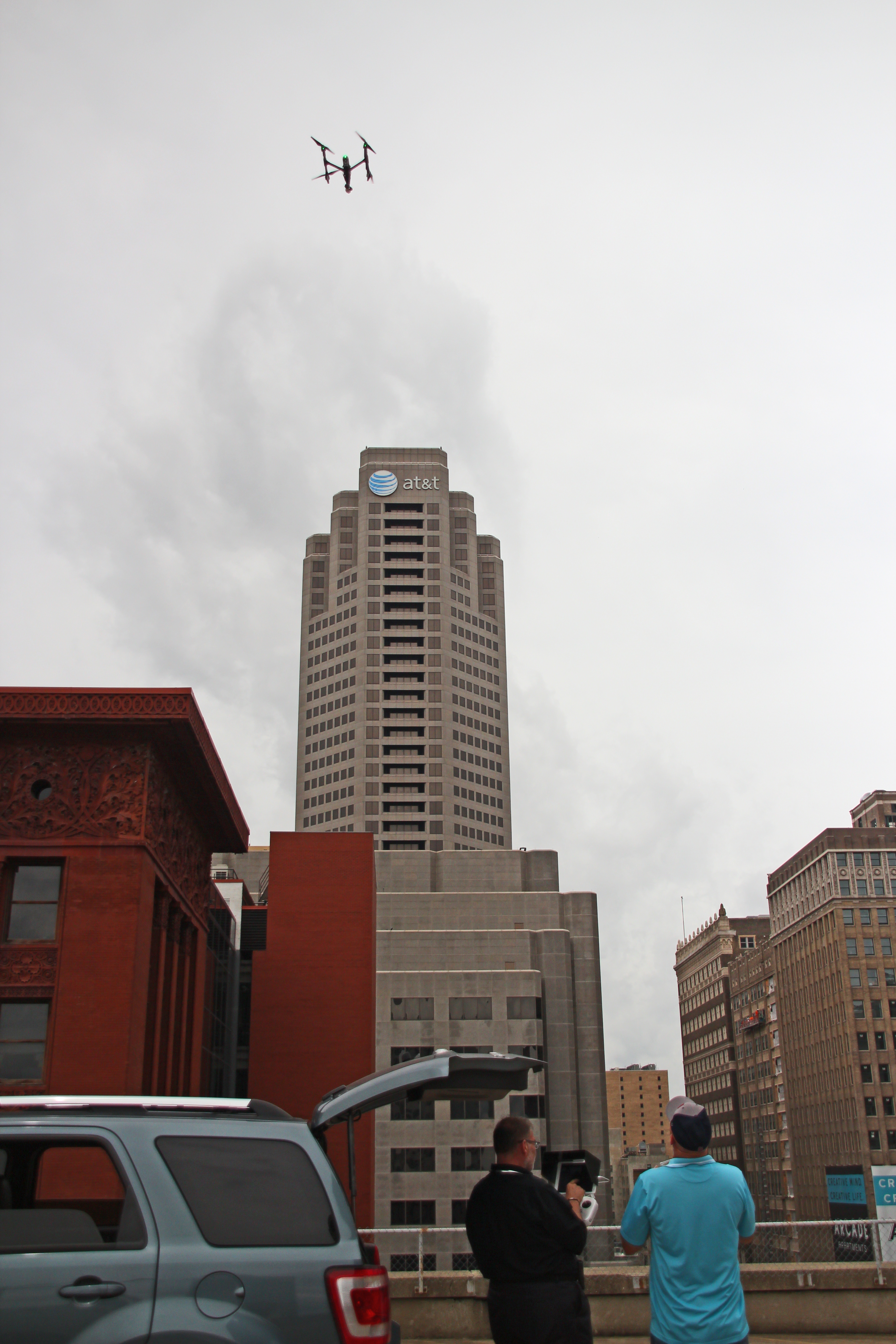
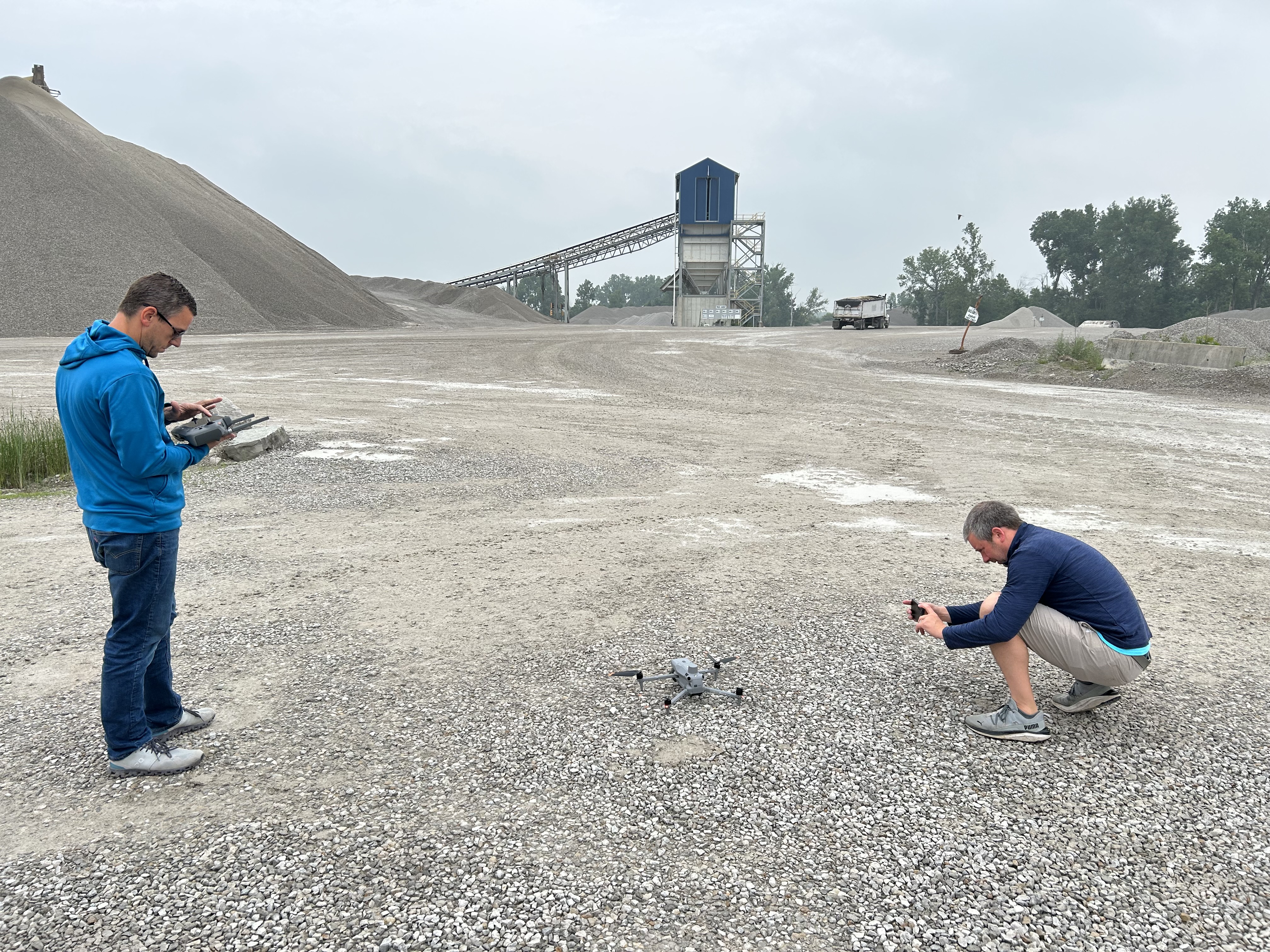
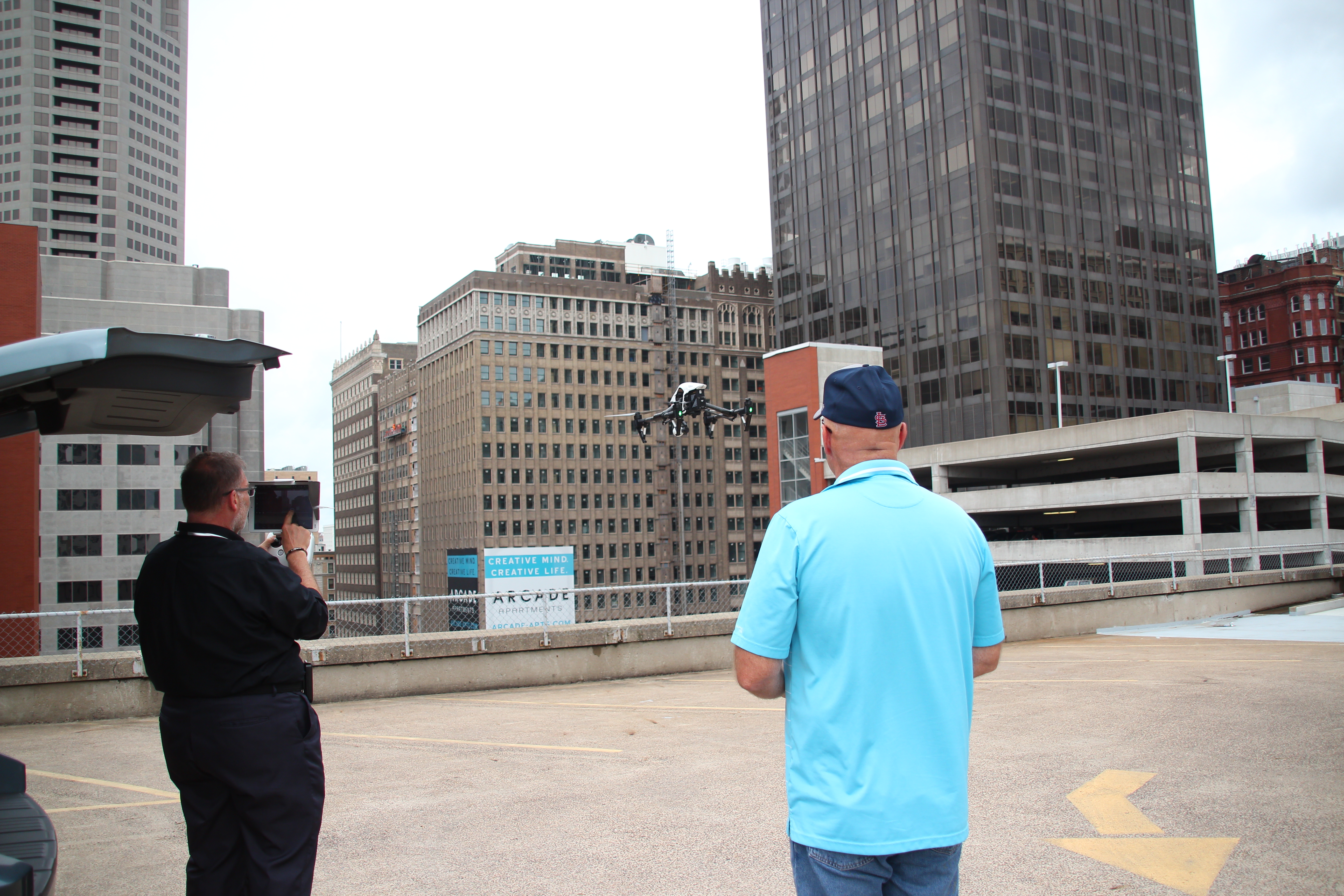
In St. Louis, aerial imaging is no longer limited to dramatic photography and marketing video. For many businesses and organizations, the more important question is not simply how a property, project, or facility looks from above, but what the site data can actually tell you. That is where LiDAR drone services become especially valuable.
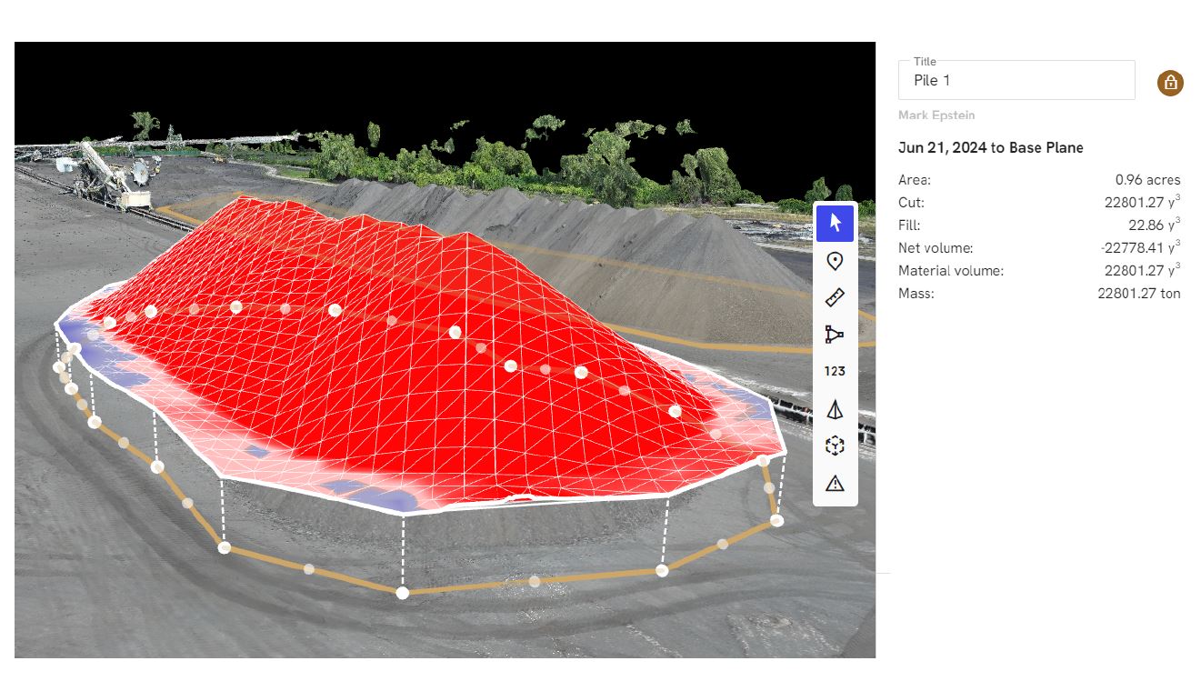
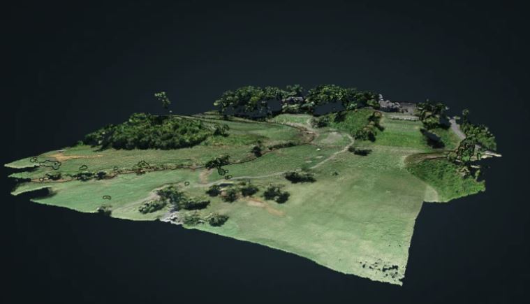
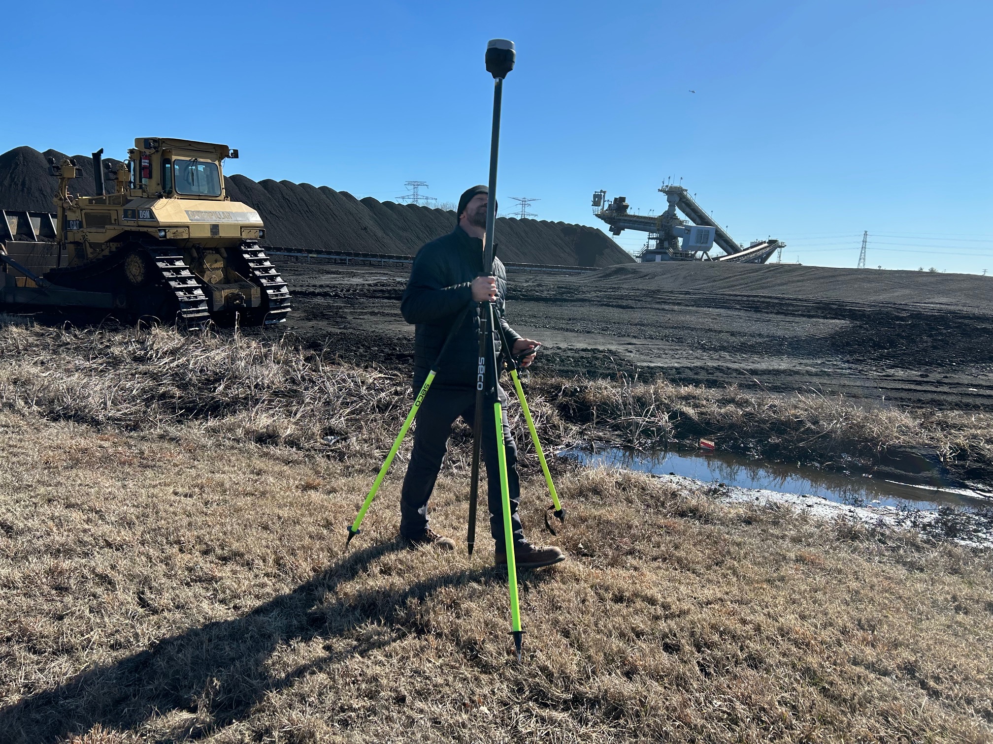
LiDAR, or Light Detection and Ranging, is a remote sensing method that uses pulsed laser light to measure distances and generate precise three-dimensional information about the shape of the earth and surface features. The result is typically a point cloud that can be processed into usable deliverables such as elevation models, contours, terrain surfaces, and other geospatial assets.
For decision makers in construction, engineering, facilities management, real estate, utilities, logistics, industrial operations, and large-site planning, that difference matters. Traditional drone photography is excellent for visual documentation, inspection support, and marketing communications. LiDAR serves a different role. It is designed to help teams measure, analyze, model, and plan with greater confidence when a site is too large, too complex, too uneven, or too operationally sensitive to evaluate efficiently from the ground.
What LiDAR drone services actually do
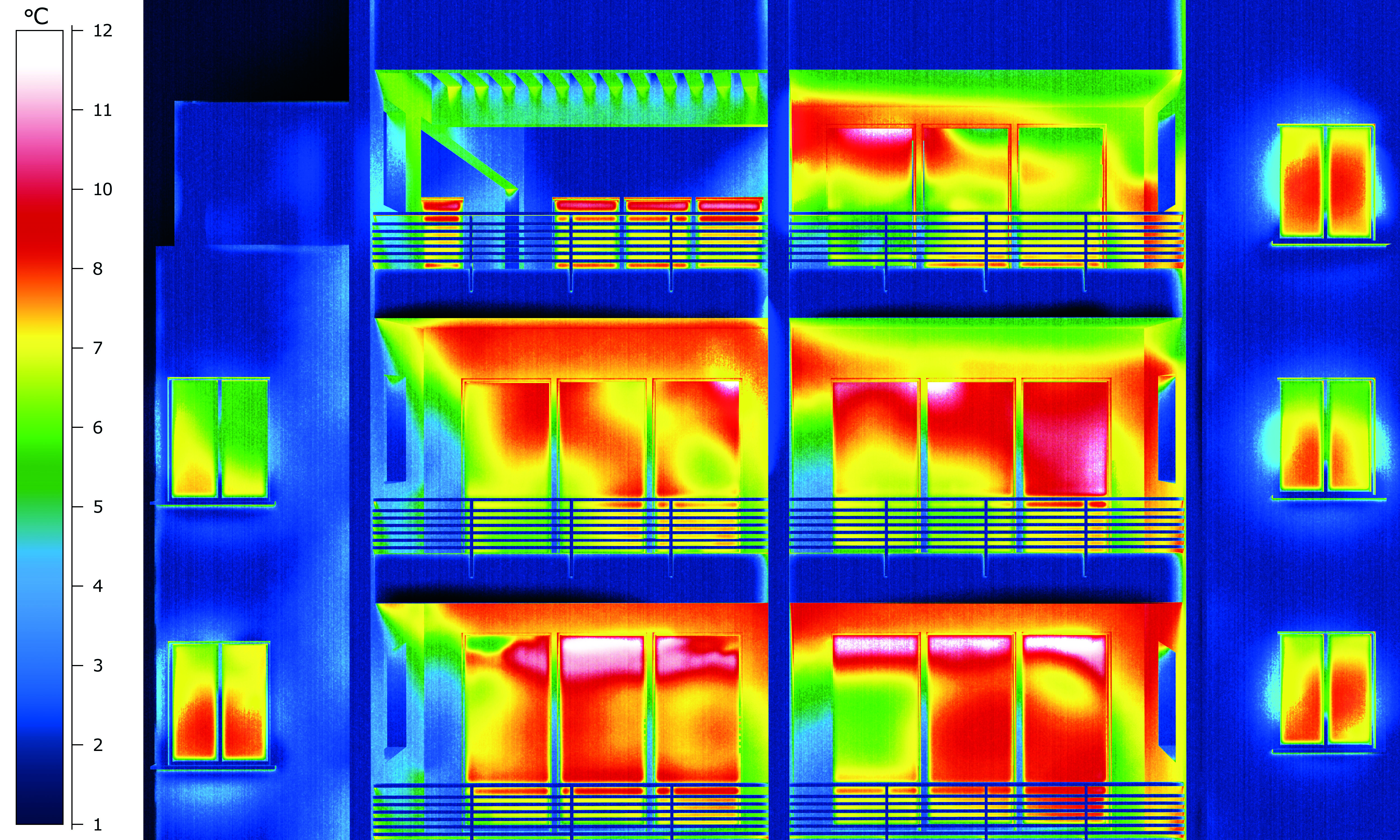
A LiDAR-equipped drone sends out laser pulses and records the returns from the ground and other surfaces. Because those returns can be processed into dense three-dimensional datasets, LiDAR is especially useful when a client needs more than imagery. It is valuable when the real deliverable is insight: terrain intelligence, elevation change, volumetric understanding, or a more detailed representation of site conditions. NOAA describes LiDAR as a method that generates precise 3D information about surface characteristics, while USGS notes that the original data is collected as a point cloud and can be processed into bare-earth elevation products by removing vegetation and structures where appropriate.
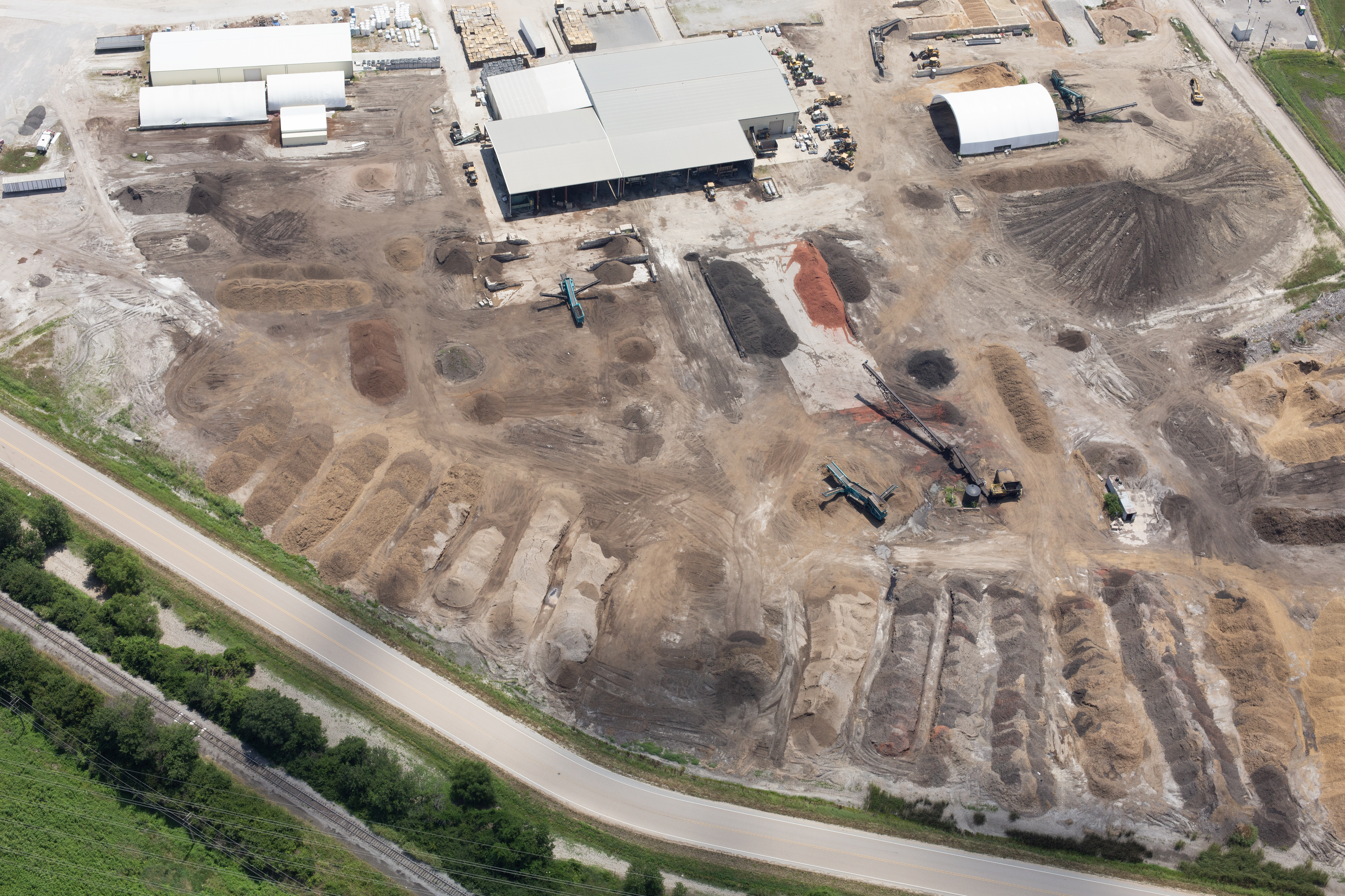
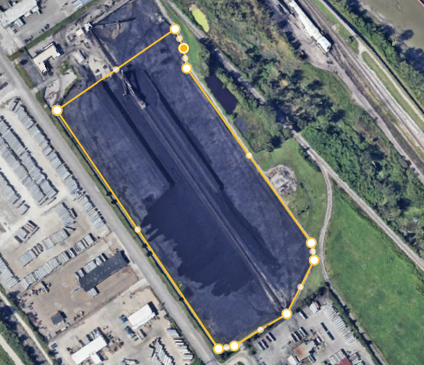
This capability is particularly important on sites with topographic variation, drainage issues, stockpiles, embankments, corridors, rooftops, campuses, industrial yards, or partially obstructed terrain. In those situations, a conventional photo set may show the site, but LiDAR helps quantify it.

Why St. Louis businesses are turning to LiDAR
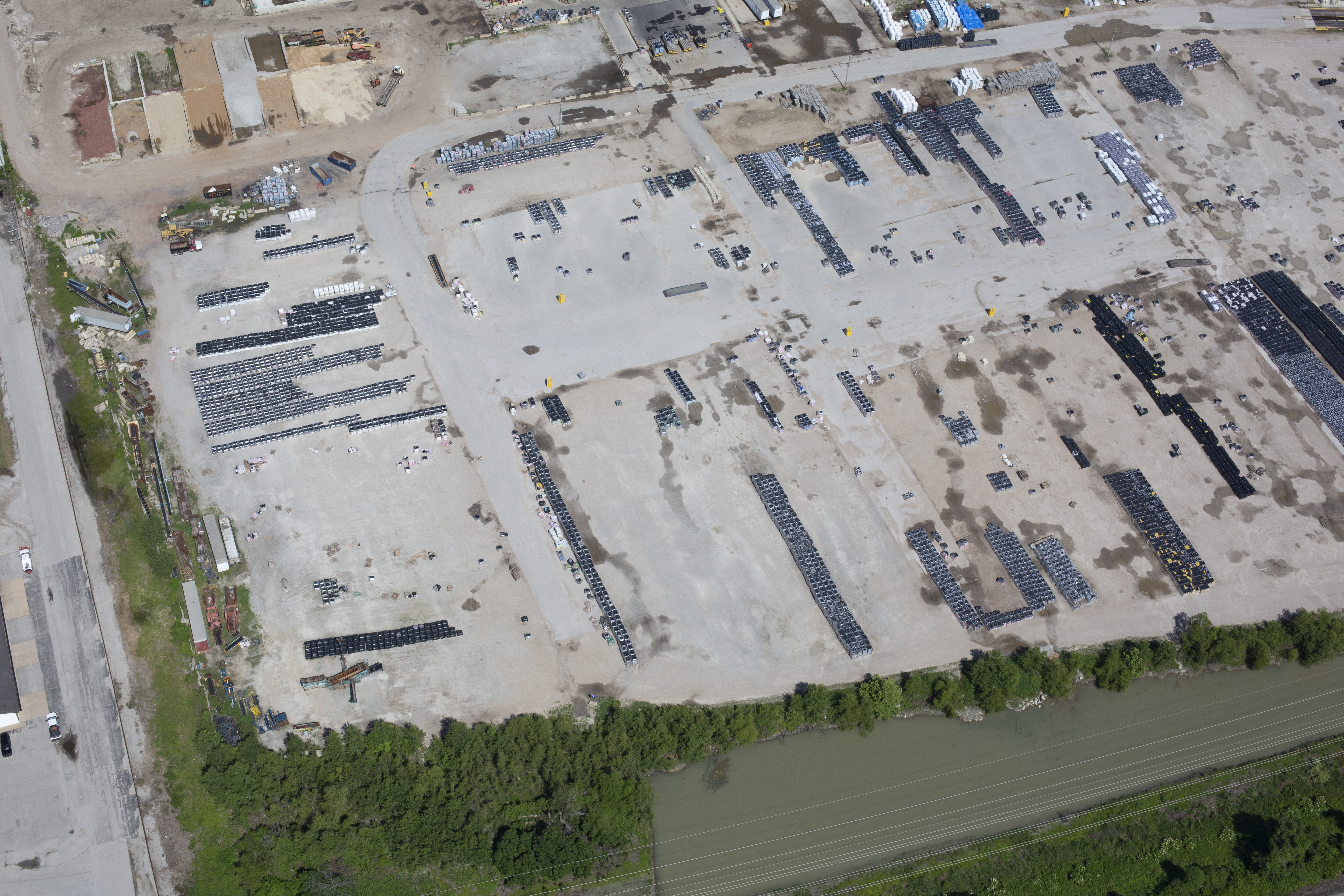
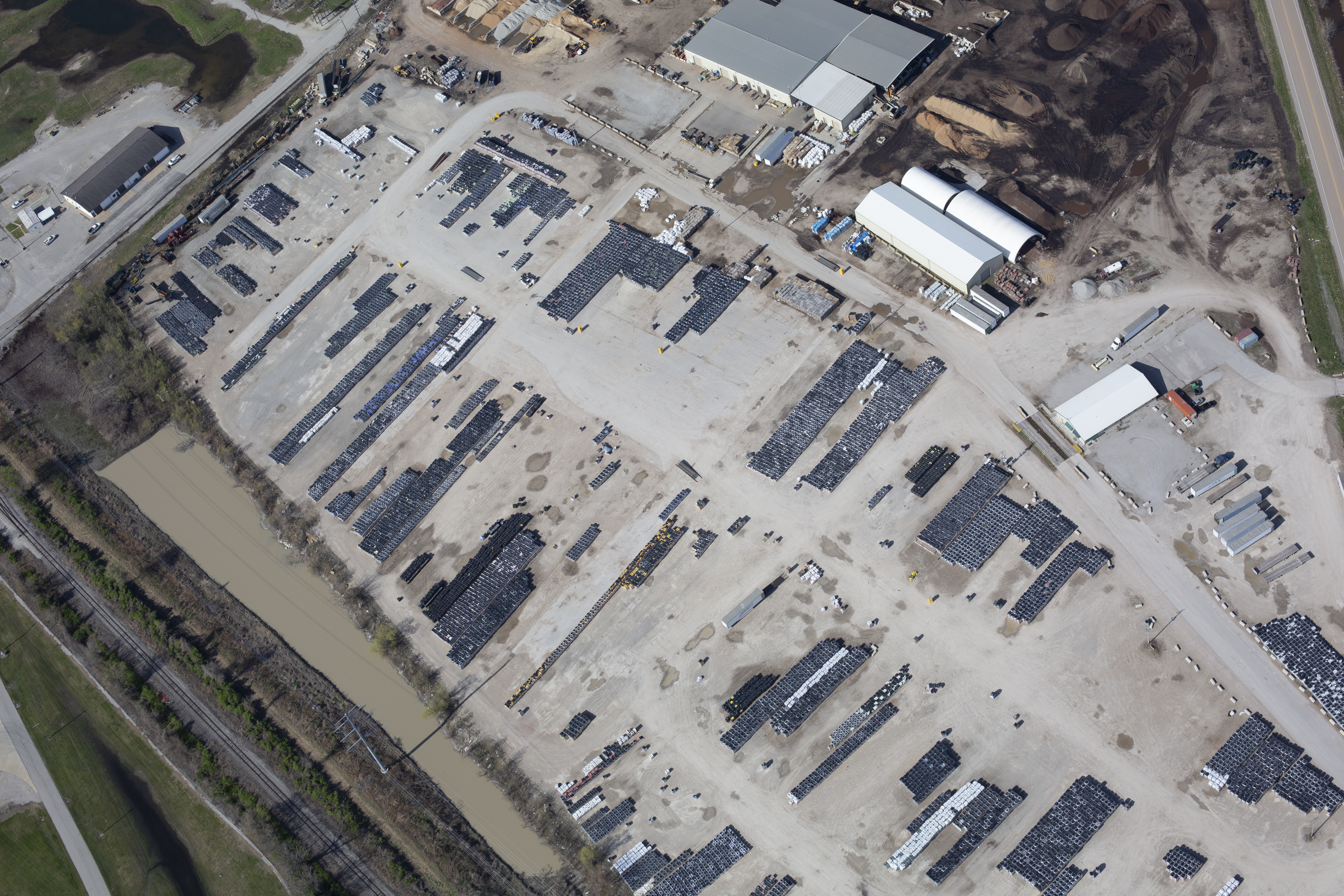
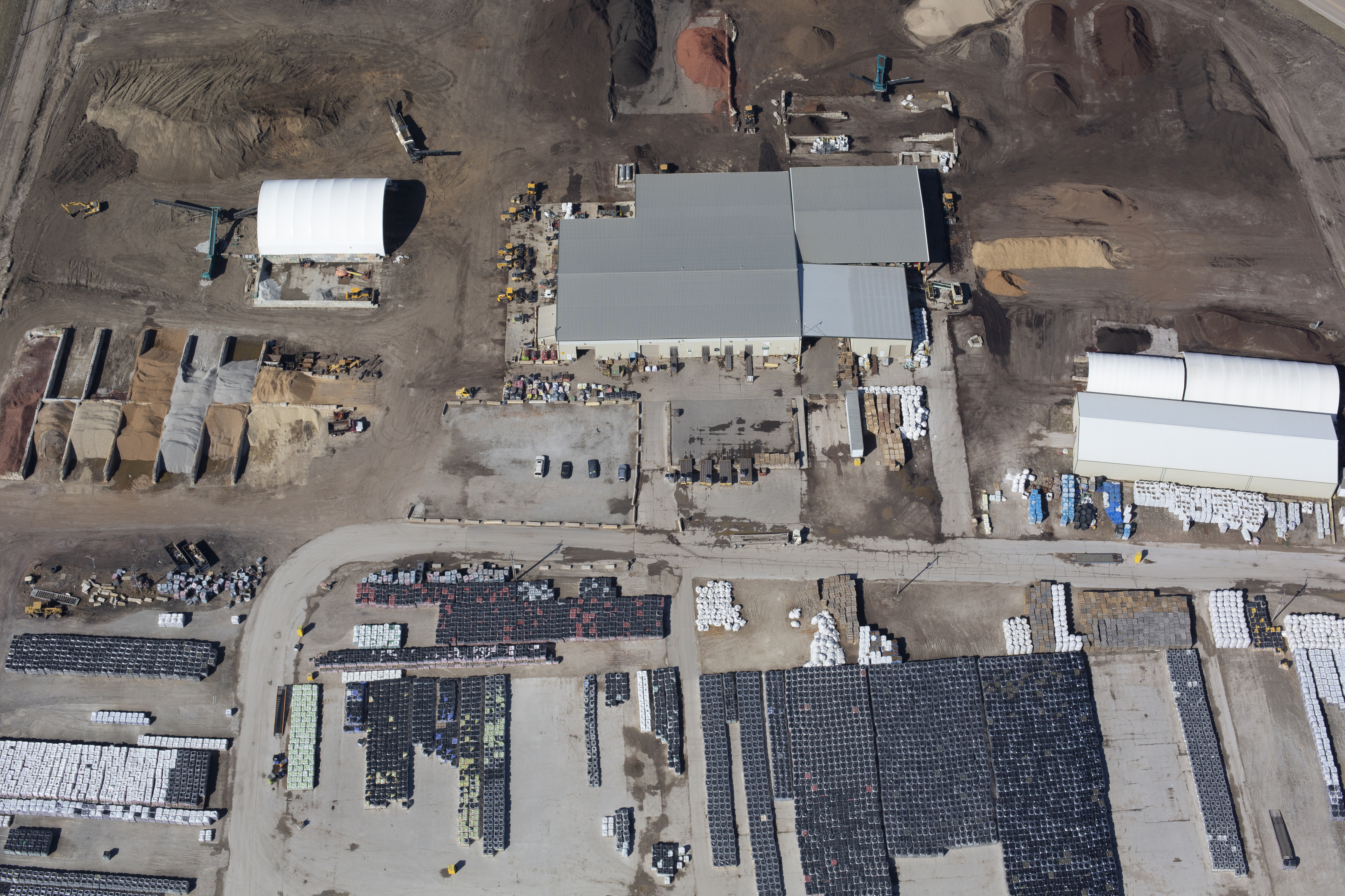
St. Louis-area organizations operate across a wide range of physical environments: corporate campuses, industrial facilities, construction projects, healthcare properties, educational institutions, transportation corridors, utility sites, and commercial developments. Many of these sites require recurring documentation, planning support, or measurable spatial data rather than a one-time visual overview.
LiDAR drone services can support:
- topographic mapping
- terrain and elevation analysis
- site planning and preconstruction evaluation
- stockpile and material volume measurement
- infrastructure and corridor documentation
- drainage and stormwater assessment support
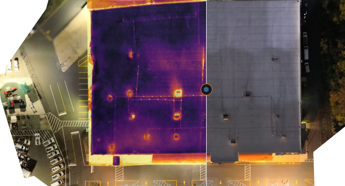
- roof geometry and facility measurement
- land development and property analysis
- long-term change tracking across large sites
USGS identifies LiDAR point clouds and digital elevation models as standard products within modern elevation programs, which helps explain why LiDAR has become so valuable wherever reliable surface data matters.
Where LiDAR has an advantage over standard photogrammetry
Photogrammetry remains a strong solution for many commercial drone projects, especially when the goal is visual modeling based on overlapping photography. But LiDAR often becomes the better choice when elevation precision, terrain modeling, or the ability to classify surface data matters more than appearance alone.
One major advantage is that LiDAR data can be processed to distinguish between vegetation, structures, and ground surfaces. USGS specifically notes that LiDAR point clouds initially include returns from everything on the surface and that bare-earth digital elevation models are created by stripping away structures and vegetation. In practical terms, that means LiDAR can help reveal terrain characteristics that ordinary imagery may not describe clearly enough for planning or engineering use.
For organizations making budget, construction, maintenance, or design decisions, that can reduce uncertainty and help teams work from a more dependable dataset.
The real value is in the deliverables
Many clients initially focus on the aircraft or the sensor. Experienced buyers focus on the outputs.
A professionally managed LiDAR project can produce deliverables such as classified point clouds, digital terrain models, elevation surfaces, contour products, measurement-based visuals, and files that integrate into downstream GIS, CAD, engineering, and planning workflows. USGS’s 3D Elevation Program materials emphasize LiDAR point clouds and DEM products as core outputs, underscoring that the purpose of LiDAR is not simply to fly a mission but to produce usable data.
That is an important distinction for business clients. A drone flight by itself is not the product. The product is the information that comes out of it and whether that information can actually support your next decision.
Accuracy, planning, and workflow matter more than the buzzword
LiDAR is not a magic button. The value of the final data depends on mission planning, site conditions, processing methods, coordinate requirements, control strategy, classification workflow, and the skill of the production team managing the project.
A serious LiDAR engagement should begin with the business objective. Are you documenting preconstruction conditions? Comparing site changes over time? Evaluating a facility footprint? Measuring volume? Supporting consultants? Building an internal archive of property data? The answer shapes how the mission should be planned and what deliverables are worth paying for.
Industry standards matter here. ASPRS maintains positional accuracy standards for digital geospatial data and publishes best-practice guidance because geospatial deliverables must be evaluated against defined accuracy expectations, not vague marketing language.
That is why clients should look for a production partner who understands not only drone operations, but also file handling, downstream workflow needs, and how to frame the project around usable outcomes.
Safety and compliance are part of professional drone service
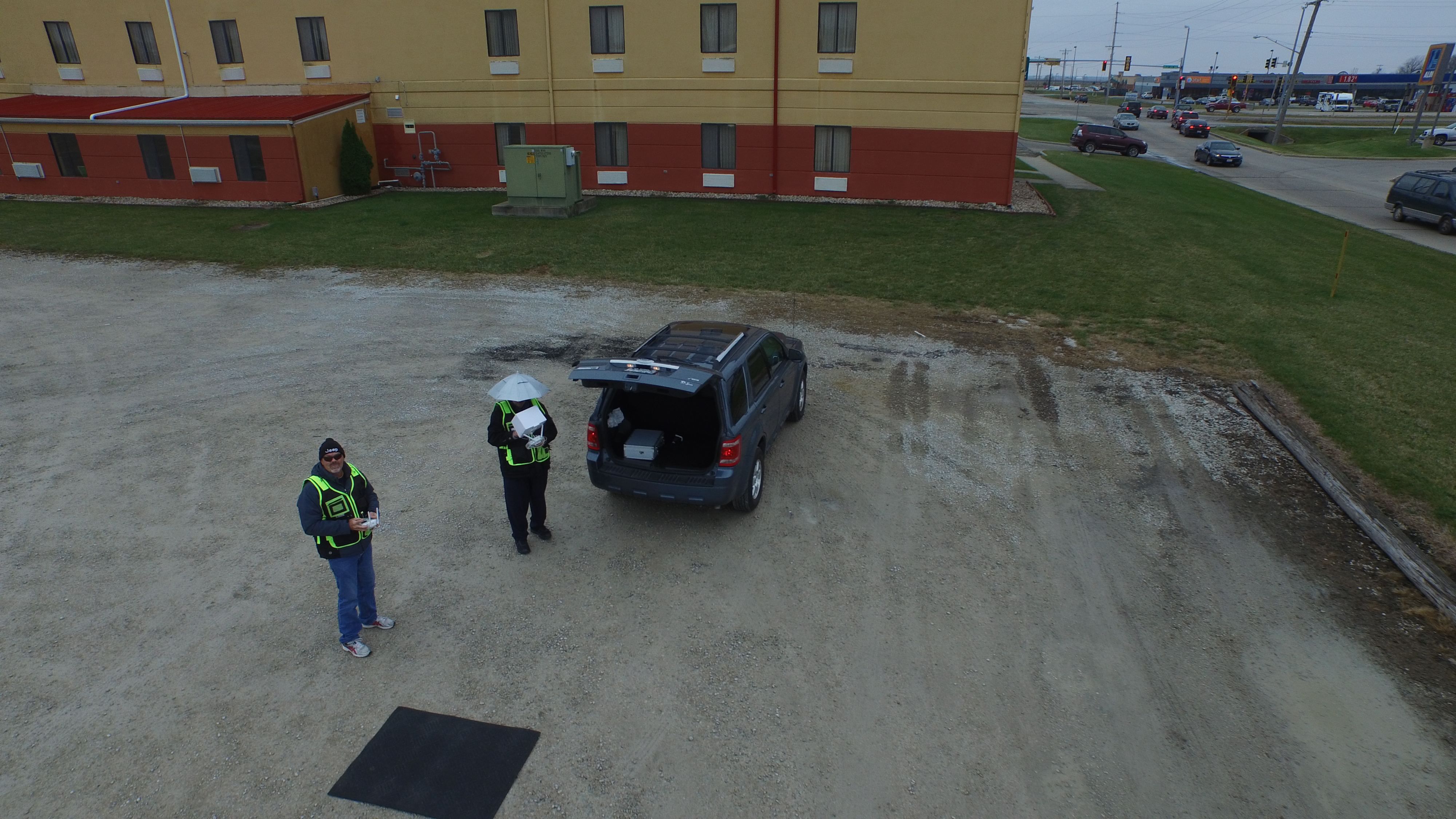
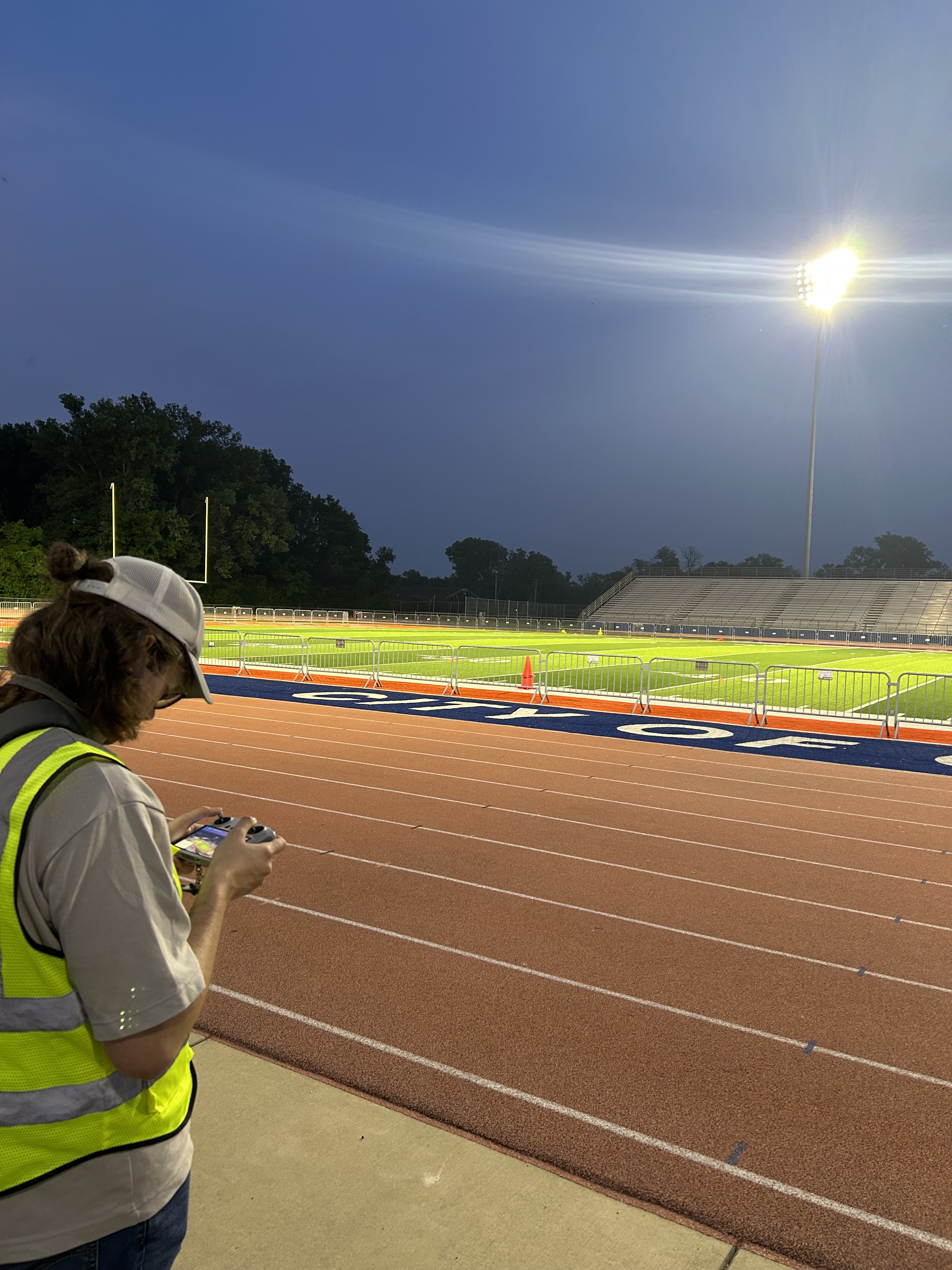
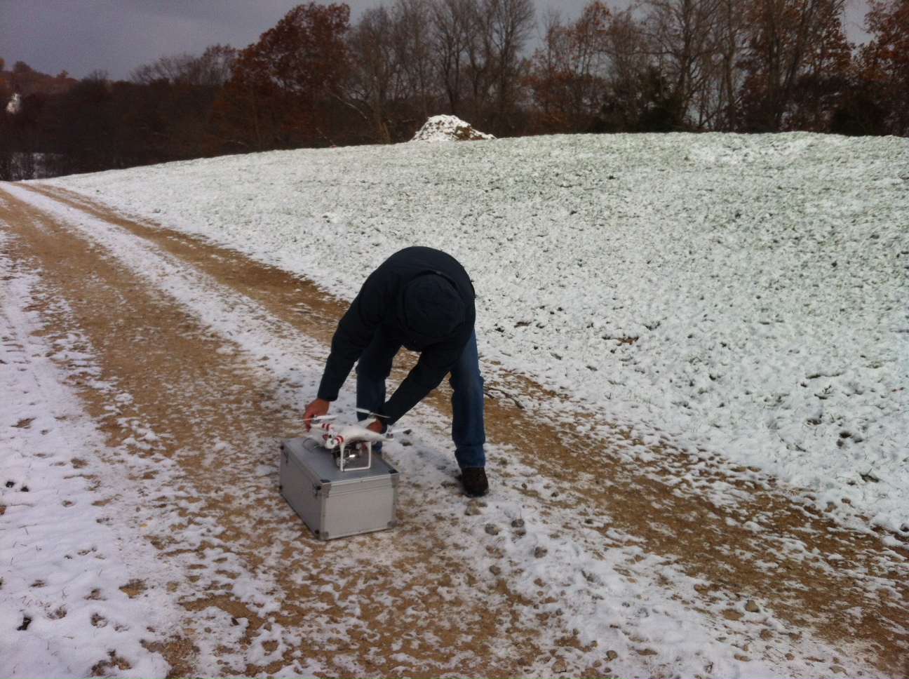
Any commercial drone operation has to be approached with operational discipline. The FAA states that work or business drone operations with small drones generally fall under Part 107, and remote pilots must hold the appropriate FAA certification to operate commercially under those rules. The FAA also provides for waivers in cases where operations need to go beyond specific Part 107 limitations, provided the operator demonstrates that the mission can still be conducted safely.
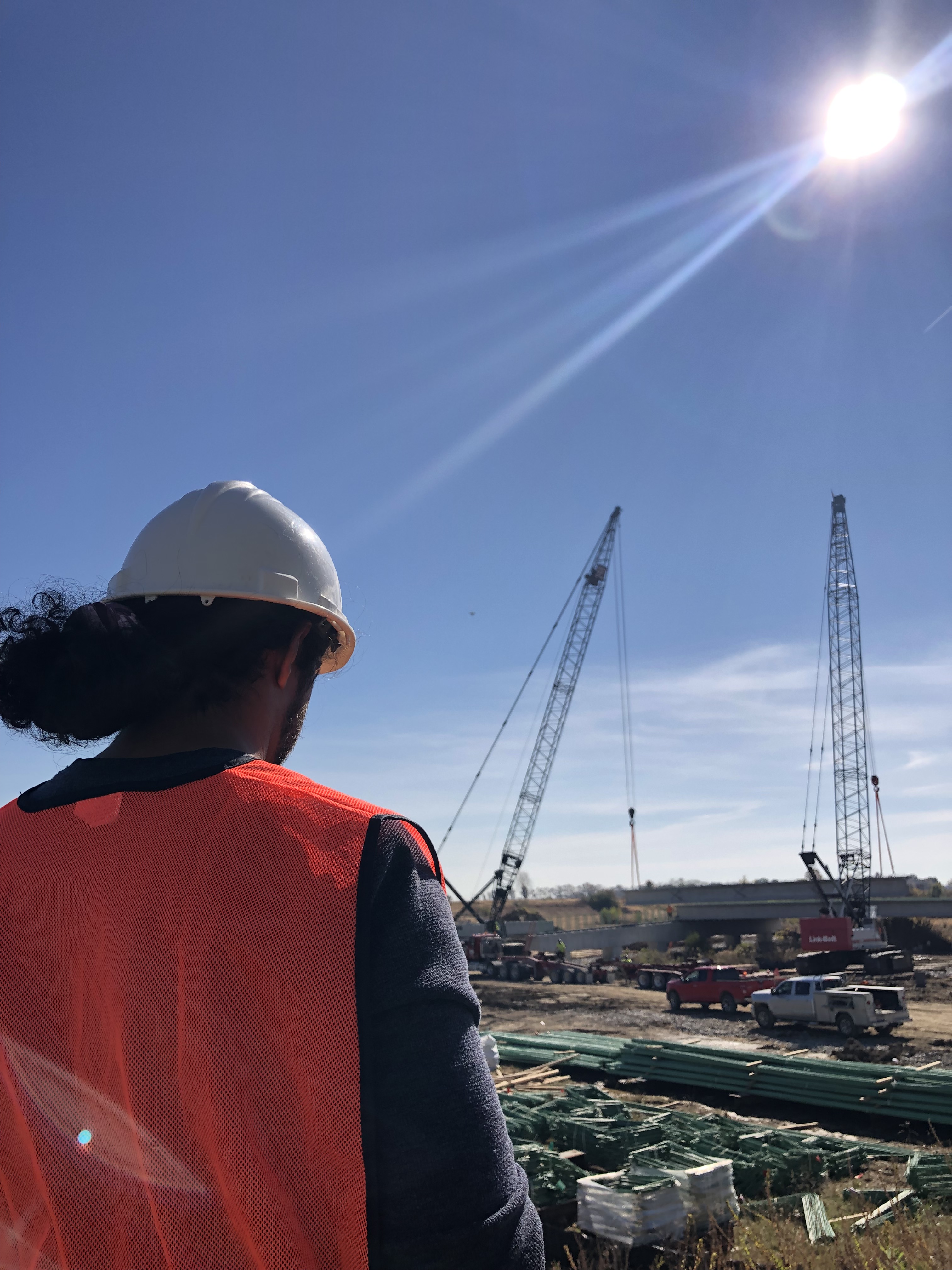
For commercial clients, this means the provider should already be thinking about airspace, property conditions, safety procedures, site activity, and operational planning before the mission begins. That becomes even more important around active facilities, tight urban environments, industrial sites, rooftops, campuses, or indoor spaces where specialized flight experience can make a major difference.
Why LiDAR should be part of a broader visual strategy
One of the biggest misconceptions about LiDAR is that it replaces conventional photography and video. In reality, the best results often come from combining them.
A business may need LiDAR for measurable site data, aerial photography for stakeholder presentations, ground-level photography for documentation, and video for marketing, internal communication, recruitment, or investor-facing content. When these needs are addressed together, one project can support multiple departments instead of creating separate costs and separate field days.
That broader approach is often where the greatest value appears. Technical capture can inform engineering and operations, while polished visual assets can serve communications, branding, and executive reporting. For a company trying to maximize budget and reduce production friction, that combination is highly effective.
What smart buyers should ask before hiring a LiDAR drone provider
Before committing to any LiDAR engagement, decision makers should ask a few practical questions:
What is the actual business problem we are trying to solve?
What deliverables will we receive?
Will those files work with our software or consultant workflow?
What level of accuracy is appropriate for this use case?
Will the provider also capture supporting imagery or video if needed?
How will the flight be planned for safety, efficiency, and compliance?
Can the same team help translate technical data into clear visuals for presentations or marketing use?
Those questions usually reveal the difference between a basic drone operator and a true production partner.
Experienced LiDAR drone services require more than equipment
The most successful LiDAR projects are not driven by gear alone. They are driven by experience, planning, communication, and the ability to turn technical capture into practical value for the client. That means understanding both the data side and the media side of modern production.
At St Louis Corporate Photographer, we understand that many organizations do not just need drone flights. They need dependable image acquisition, flexible deliverables, and a production team that can support technical, operational, and marketing goals in one place.
St Louis Corporate Photographer is a full-service professional commercial photography and video production company with the right equipment and creative crew service experience for successful image acquisition. We offer full-service studio and location video and photography, as well as editing, post-production and licensed drone services. St Louis Corporate Photographer can customize your productions for diverse types of media requirements. Repurposing your photography and video branding to gain more traction is another specialty.
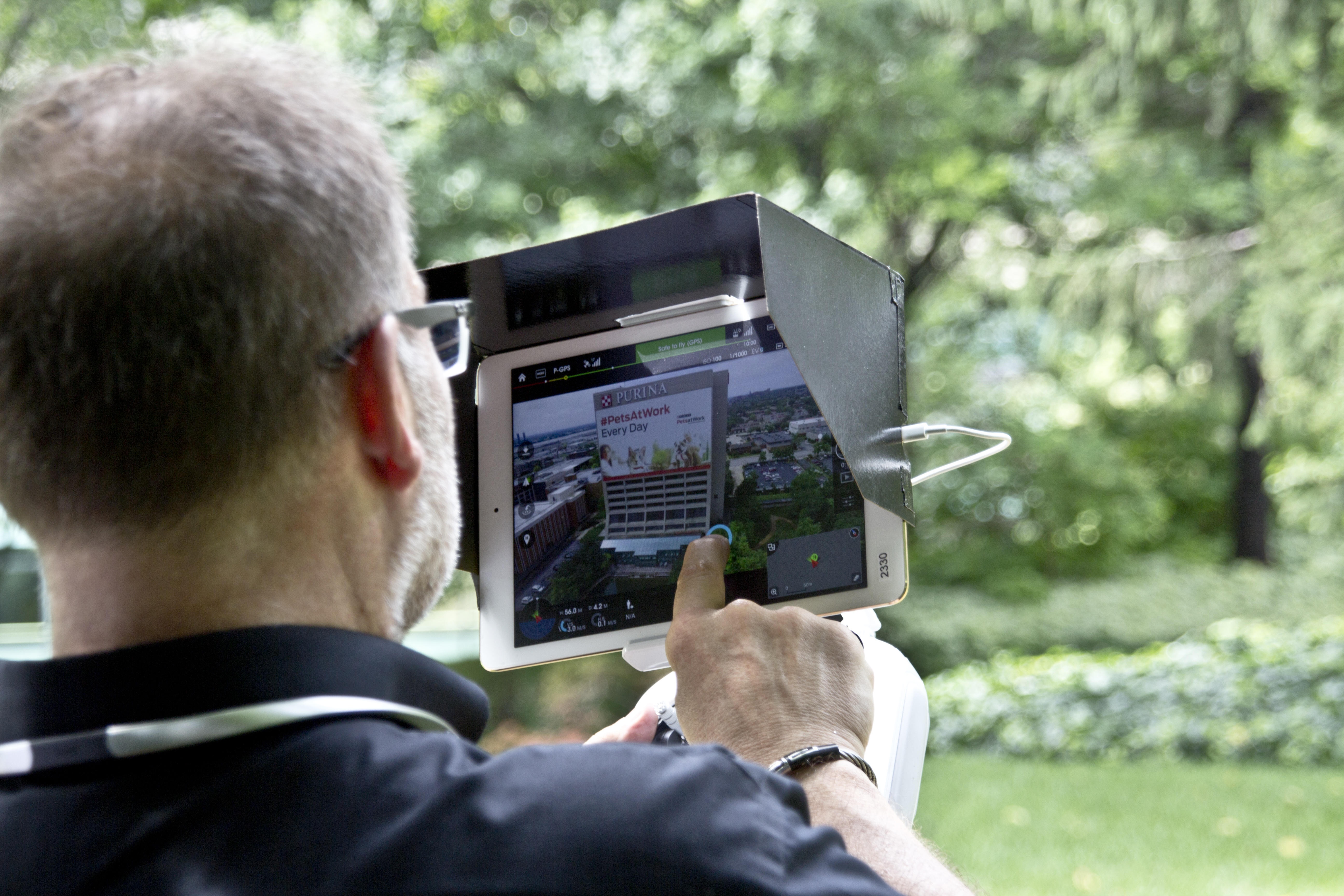
We are well-versed in all file types and styles of media and accompanying software. We use the latest in Artificial Intelligence for all our media services. Our private studio lighting and visual setup is perfect for small productions and interview scenes. Our studio is large enough to incorporate props to round out your set. We support every aspect of your production—from setting up a private, custom interview studio to supplying professional sound and camera operators, as well as providing the right equipment—ensuring your next video production is seamless and successful. We can fly our specialized drones indoors.
As a full-service video and photography production corporation, since 1982, St Louis Corporate Photographer has worked with many businesses, marketing firms and creative agencies in the St. Louis area for their marketing photography and video. When your project calls for precise aerial data, polished visual assets, and a crew that understands how to align both with business goals, St Louis Corporate Photographer brings the experience, equipment, and production depth to help make that happen.